
Hiking and nature
Doi Nangmo Hiking Trip
A challenging mountain hike east of Chiang Mai, with a 5 km out-and-back option, an 8 km loop, rope sections, and wide views from the ridge.
Updated 18 October 2026
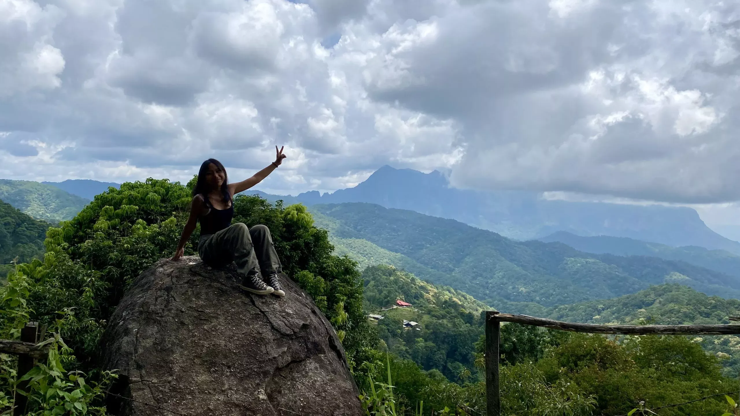
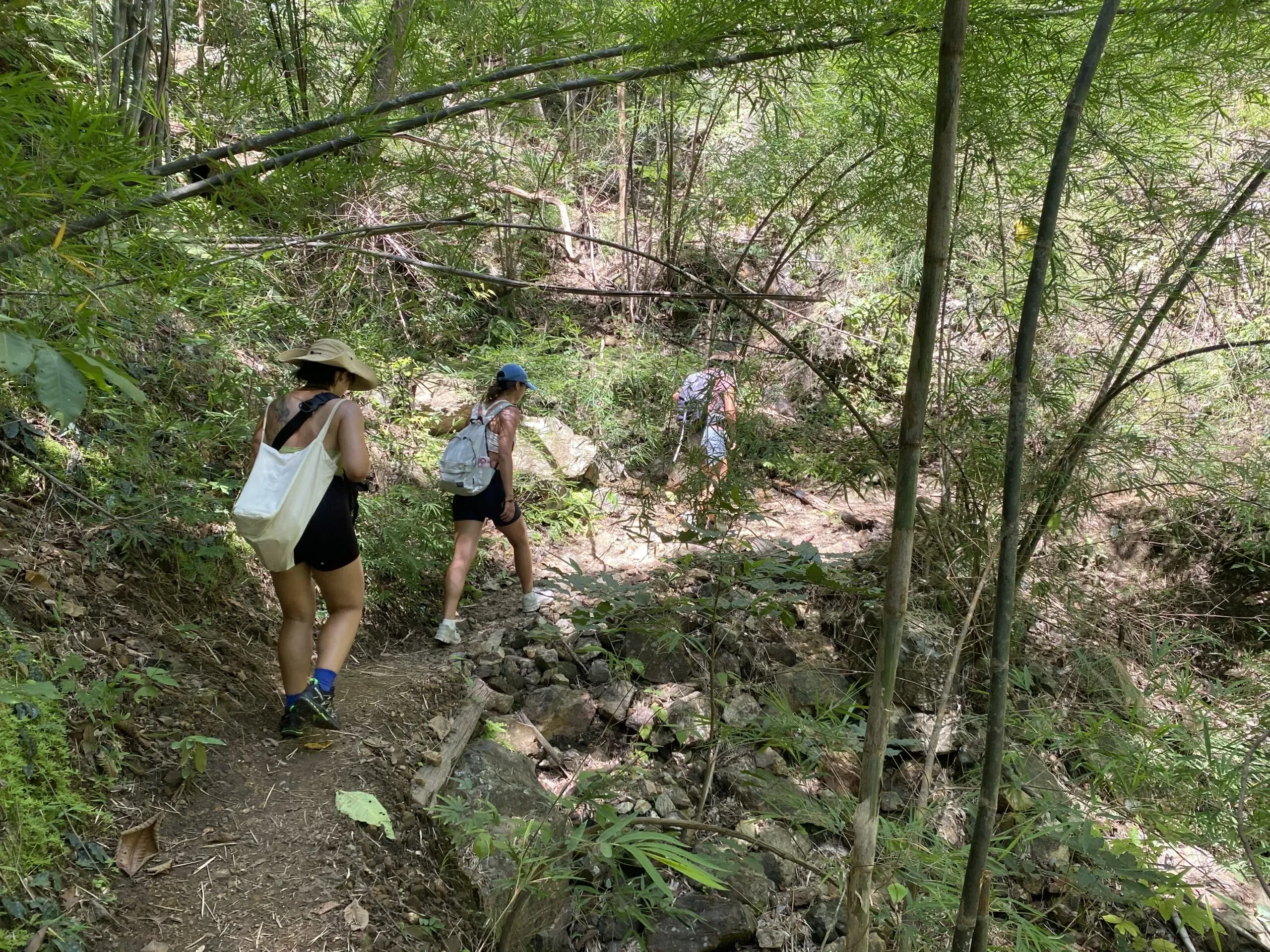
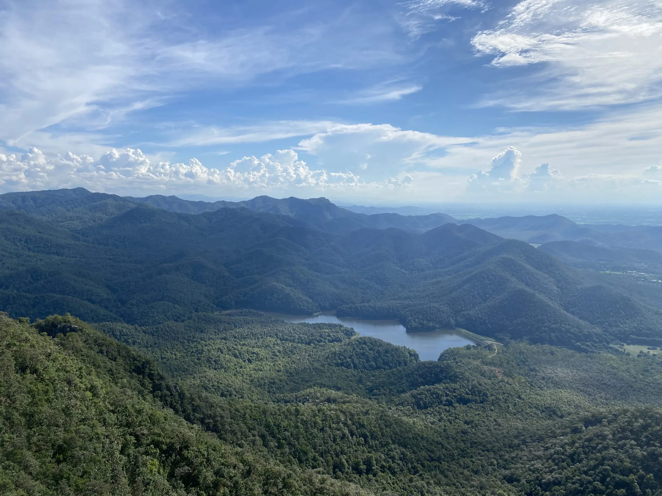
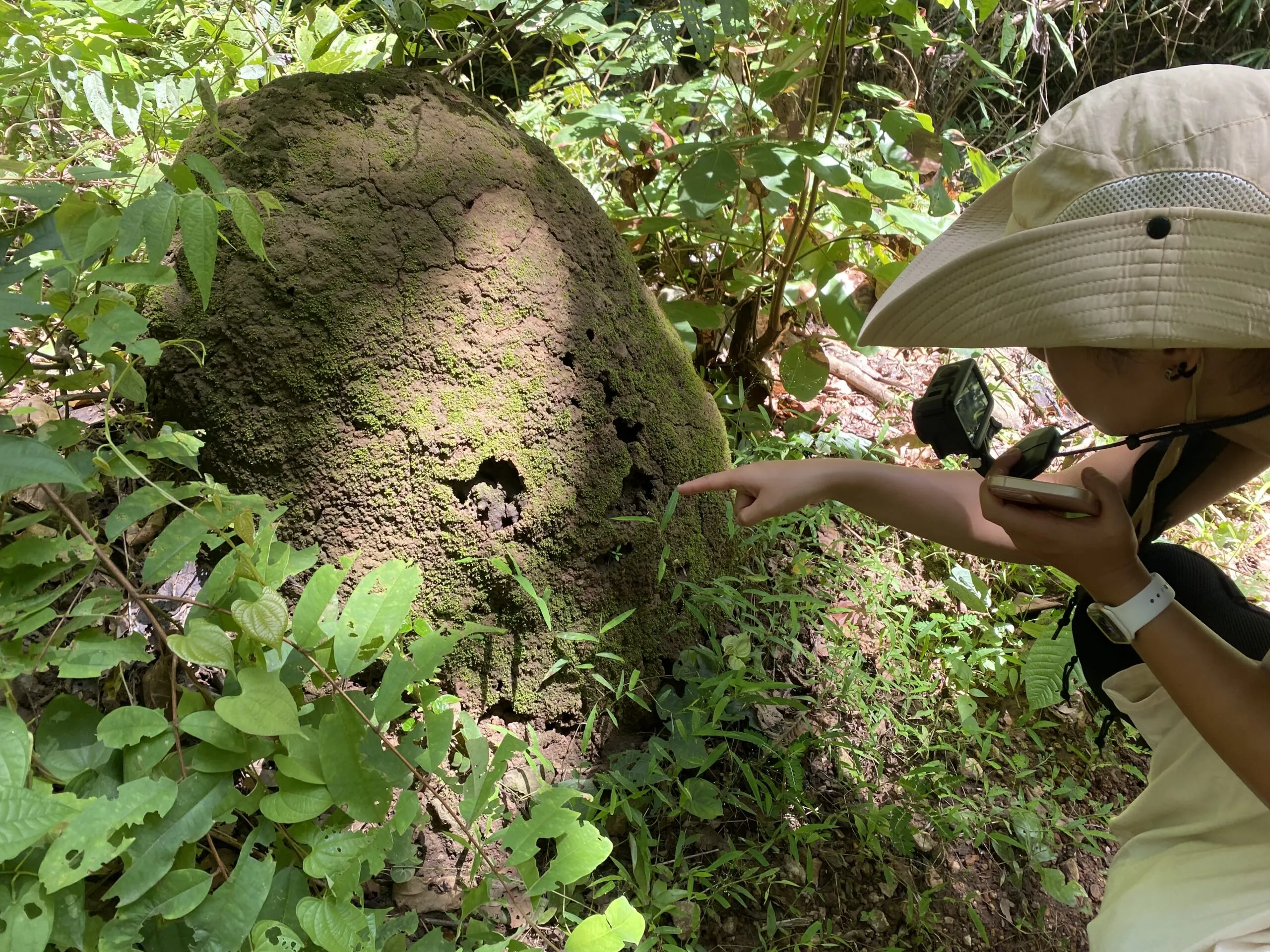
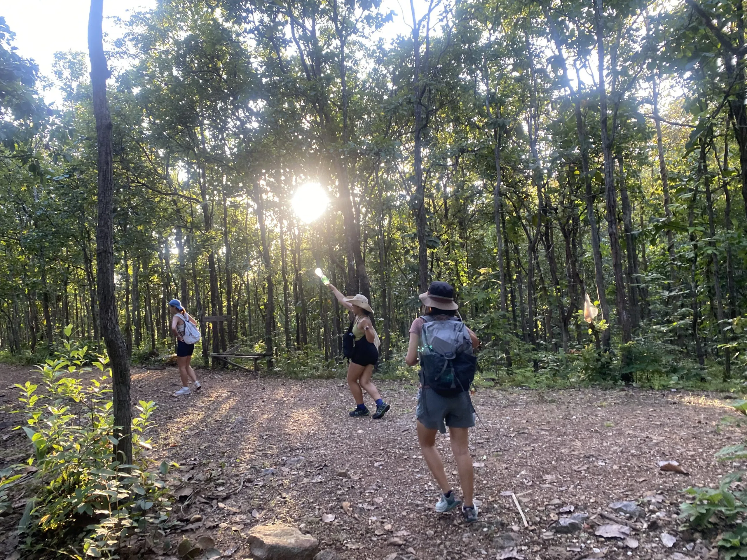
Doi Nangmo (ดอยนางเมาะ) is a full hiking day east of Chiang Mai, with steep ground, rope-assisted sections, heat, and wide ridge views. The trail suits hikers who enjoy rough terrain and a more demanding route.
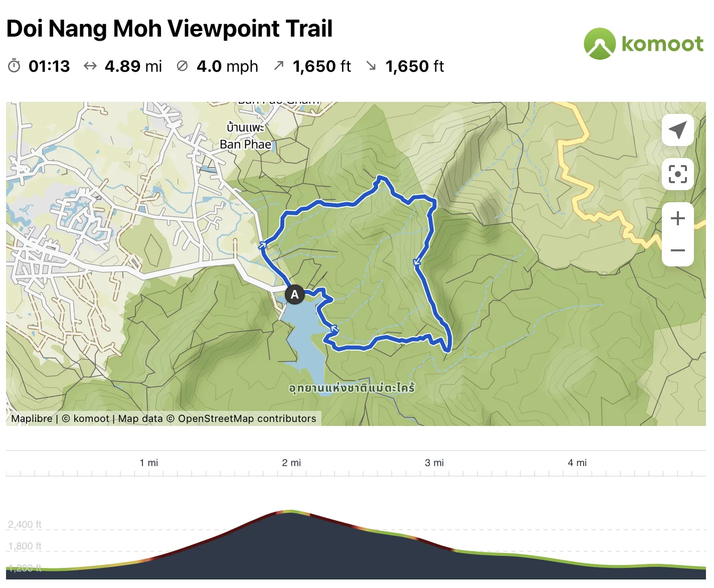
The full route is around 8 km as a loop. Fast hikers may finish in three to four hours, while most people take five to six hours with water breaks, views, and a slower descent. It makes a satisfying half or full day outside the city.
Two ways to reach the peak
There are two common ways to reach the peak:
- Short out-and-back: About 5 km. You can park closer to the trail and reach the peak more directly, with a steep climb.
- Doi Nangmo Loop: About 8 km. The loop can be walked in either direction. Going anti-clockwise makes the climb longer but more gradual, and you reach smaller viewpoints before the final peak. Clockwise gets to the peak sooner but leaves a longer, more demanding descent.
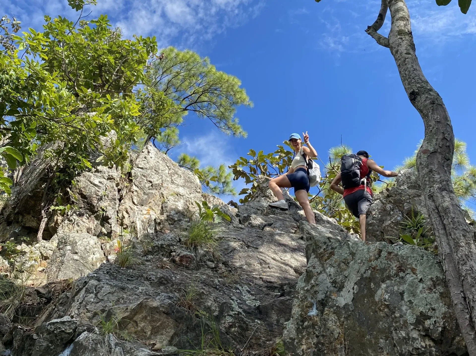
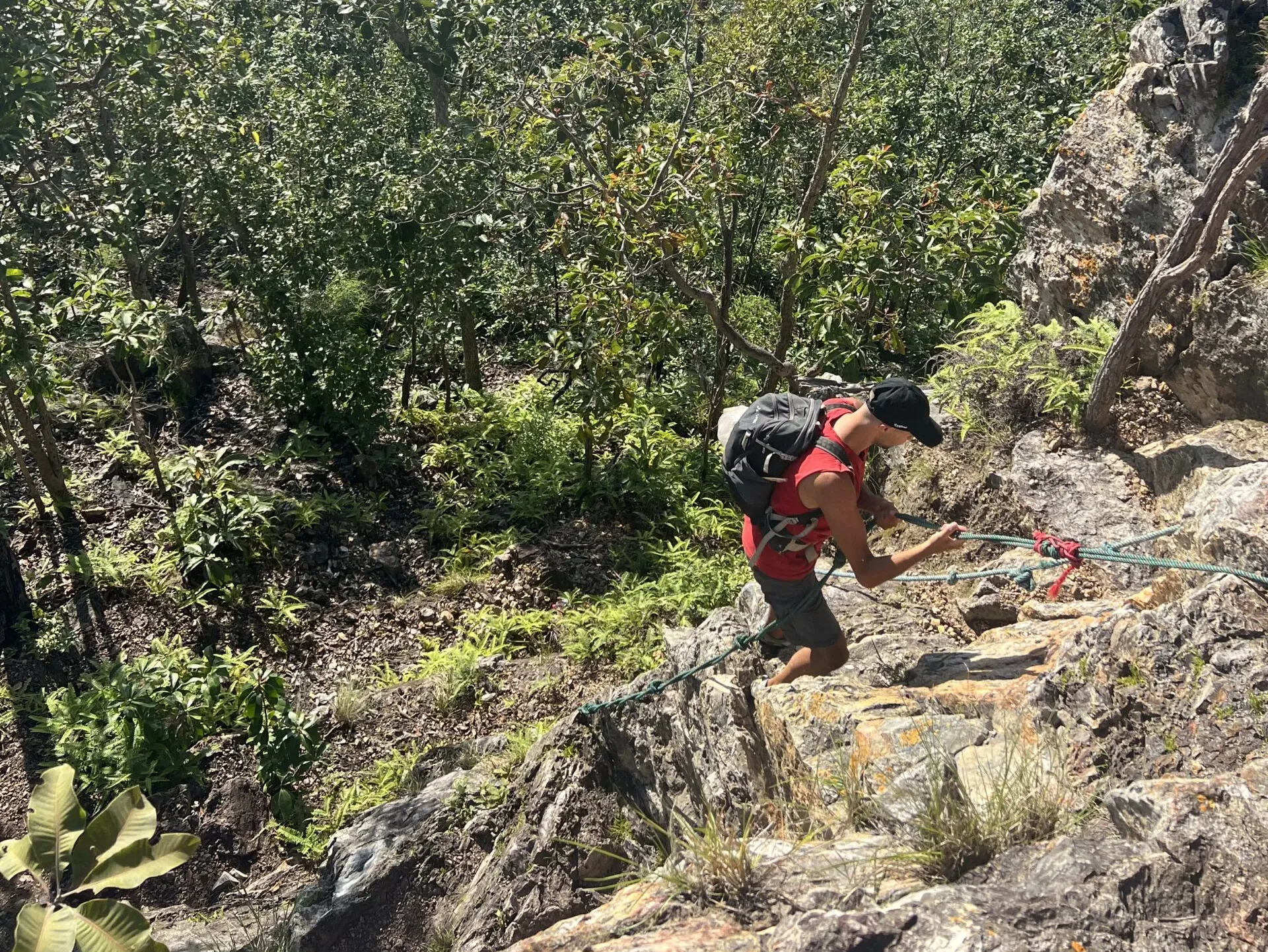
The route includes a few climbs or descents where you may need to use a rope. Dry weather makes these sections easier to manage.
Get there and plan the day
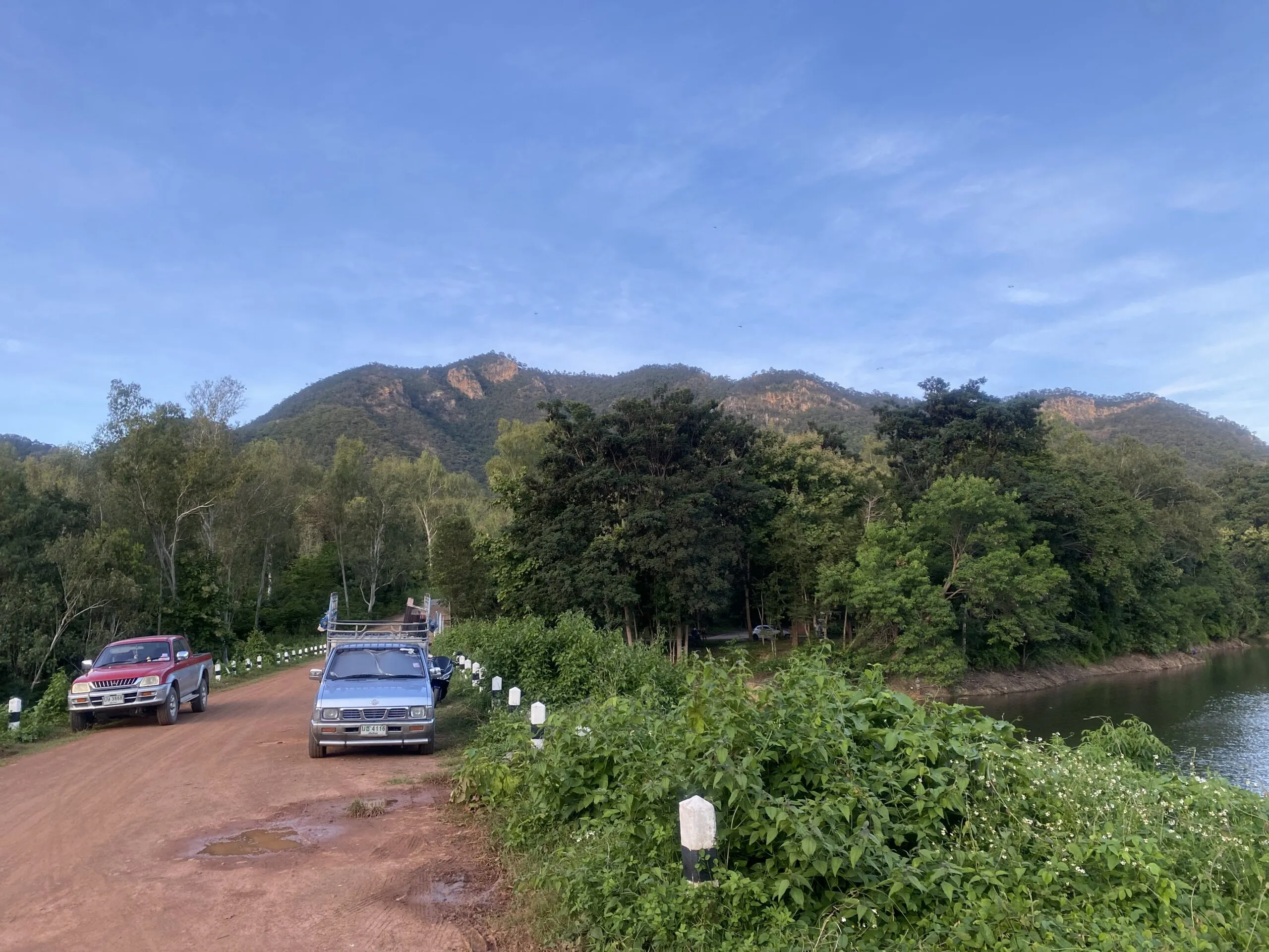
From the Old City, the drive can take up to an hour depending on traffic and your transport. The route heads out through the San Kamphaeng side of Chiang Mai. This trailhead location is useful for the drive.
Driving yourself by car or motorbike is the easiest way to reach the trailhead. You can also ask someone to take you, although arranging a pickup from this more remote area can be harder. An early start gives you more daylight on the ridge. Rain makes the rope sections and descent more slippery.
Tips for the hike
The route includes some steeper stretches, so allow enough time for the walk and any stops you would like to make. Water and a pair of shoes you are happy to hike in are useful here.
AllTrails is useful for finding hiking routes around Chiang Mai and elsewhere in Thailand. It can be a helpful extra reference for this hike too.
Add a stop before or after the hike
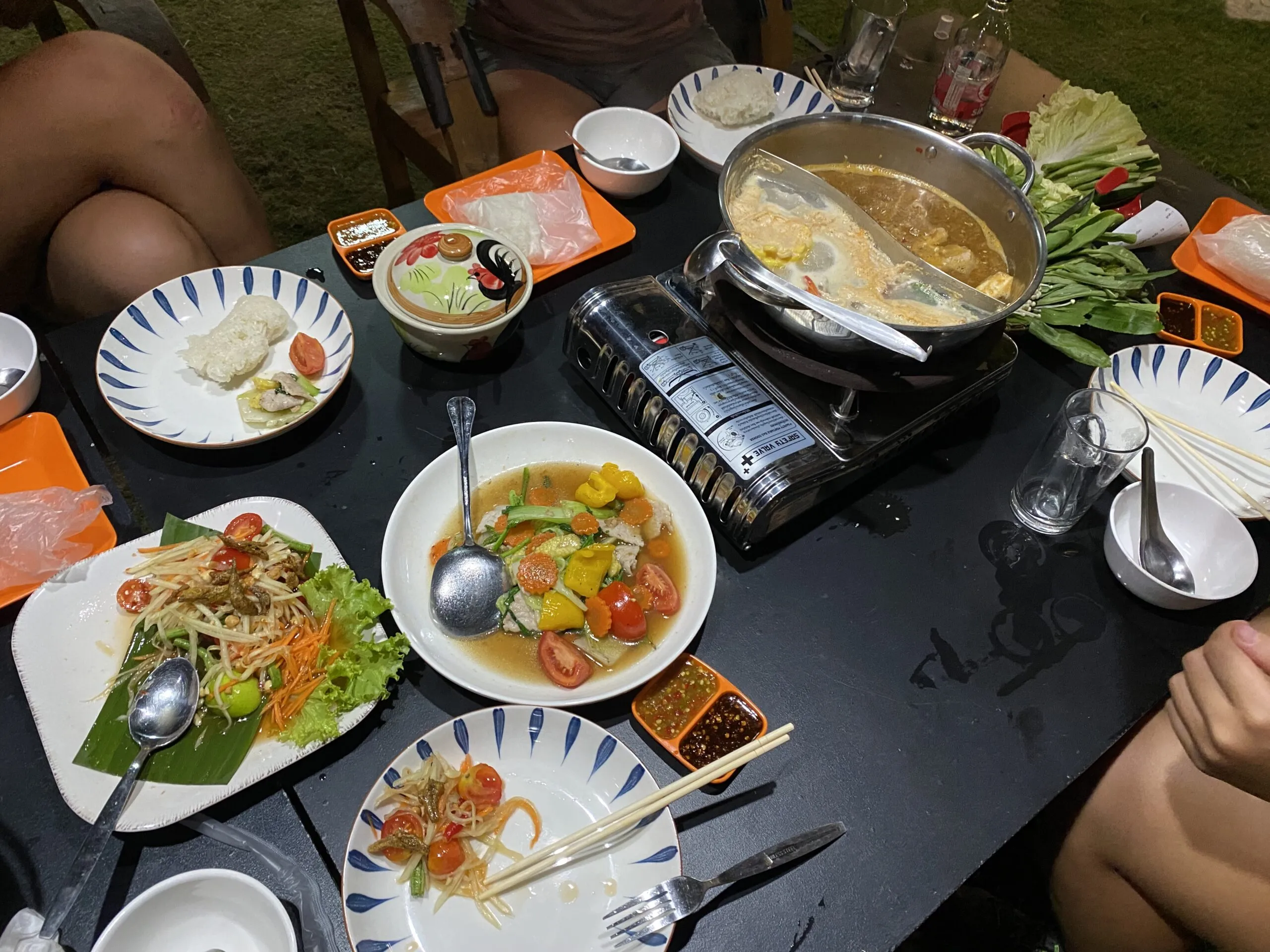
Chuen Cafe is a useful stop for food, a drink, and a lake view before the hike. If you started early, it also works well for a meal and a relaxed stop on the way back. A shorter Doi Nangmo visit can also be combined with the Mae Kampong route when there is plenty of daylight.
See the route first
This Instagram reel from the hike gives a useful impression of the terrain. Conditions, vegetation, and route access vary through the year. Dry conditions, water, daylight, and enough energy for the return make for a great day on the trail.